Hiking the Hooker Valley Track in Mount Cook National Park
One of the things that drew me to New Zealand most was the amount of different hiking trails. But, as you can imagine, hiking intense trails all day everyday over an already condensed itinerary can get a bit painful, which is why I was happy to find the Hooker Valley Track.
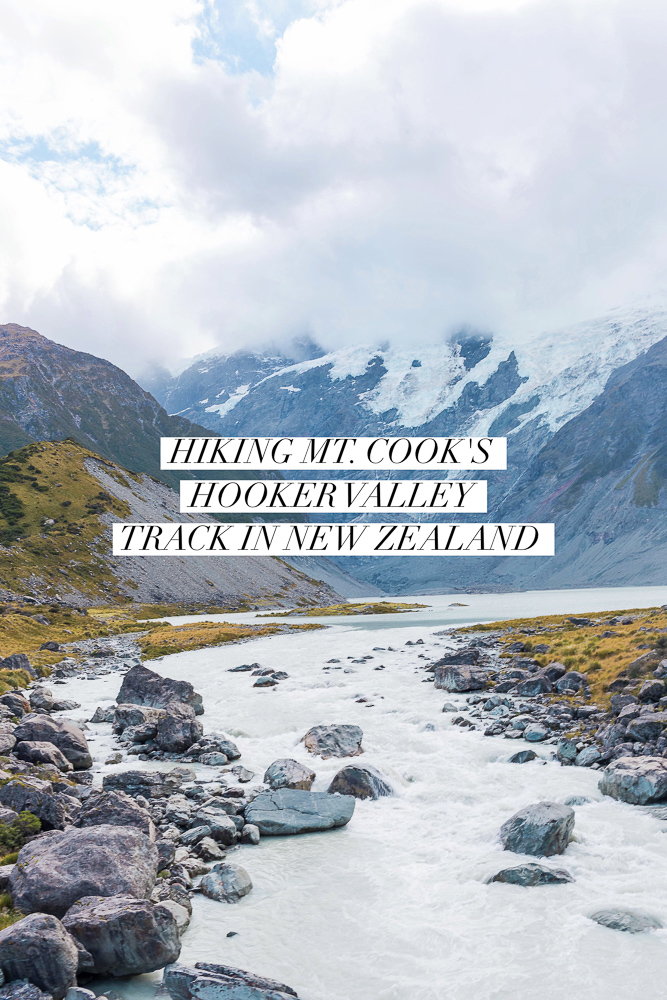
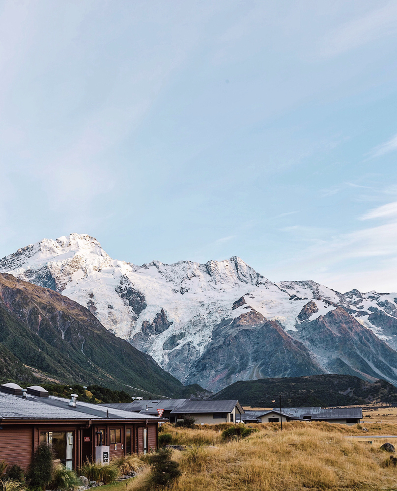
The Hooker Valley Track is located in the Aoraki/Mount Cook National Park on New Zealand’s south island. It is more of a walk than a hike, technically, but still offers rewarding views making it worth the trek. It is said to be one of the best day walks in New Zealand and is listed on Trip Advisor as the #1 thing to do in Aoraki/Mount Cook National Park. And, according to Wikipedia, “the lookout point at the end of the Hooker Valley Track is the closest any walking track comes to Aoraki/Mount Cook, and reveals completely unobstructed views of the highest mountain in New Zealand, with Hooker Glacier in the valley below”.
Here is everything you need to know if you’re thinking about visiting:
GETTING THERE
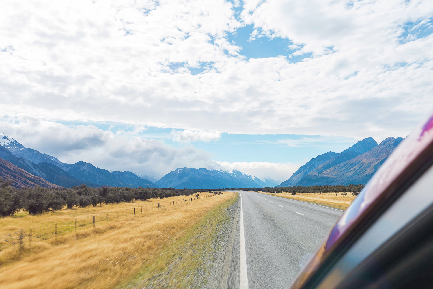
The Hooker Valley Track trailhead starts at the White Horse Hill campsite parking lot, about a 5 minute drive from the Aoraki/Mount Cook village. If you are arriving via State Highway 80 (Mount Cook Road), you’ll take a right onto Hooker Valley Road just before you reach the village. If you are coming via Tasman Valley Road, you’ll veer onto State Highway 80 (Mount Cook Road) and do the same. Once on Hooker Valley Road you will drive until you see the parking lot at the end of the road. You can’t miss it!
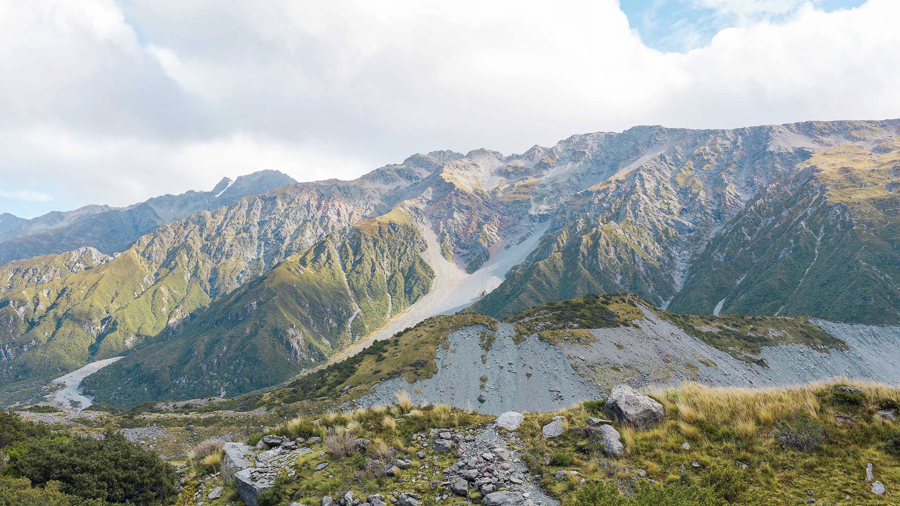
ABOUT THE HOOKER VALLEY TRACK
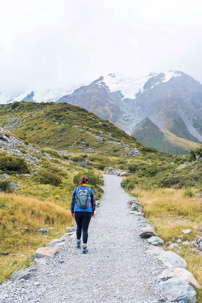
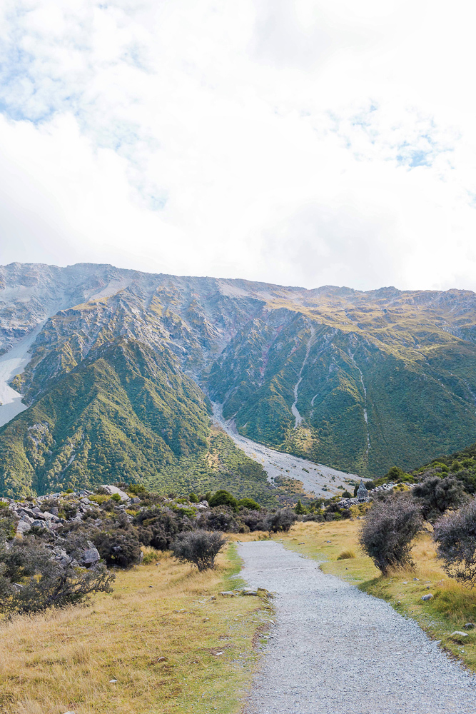
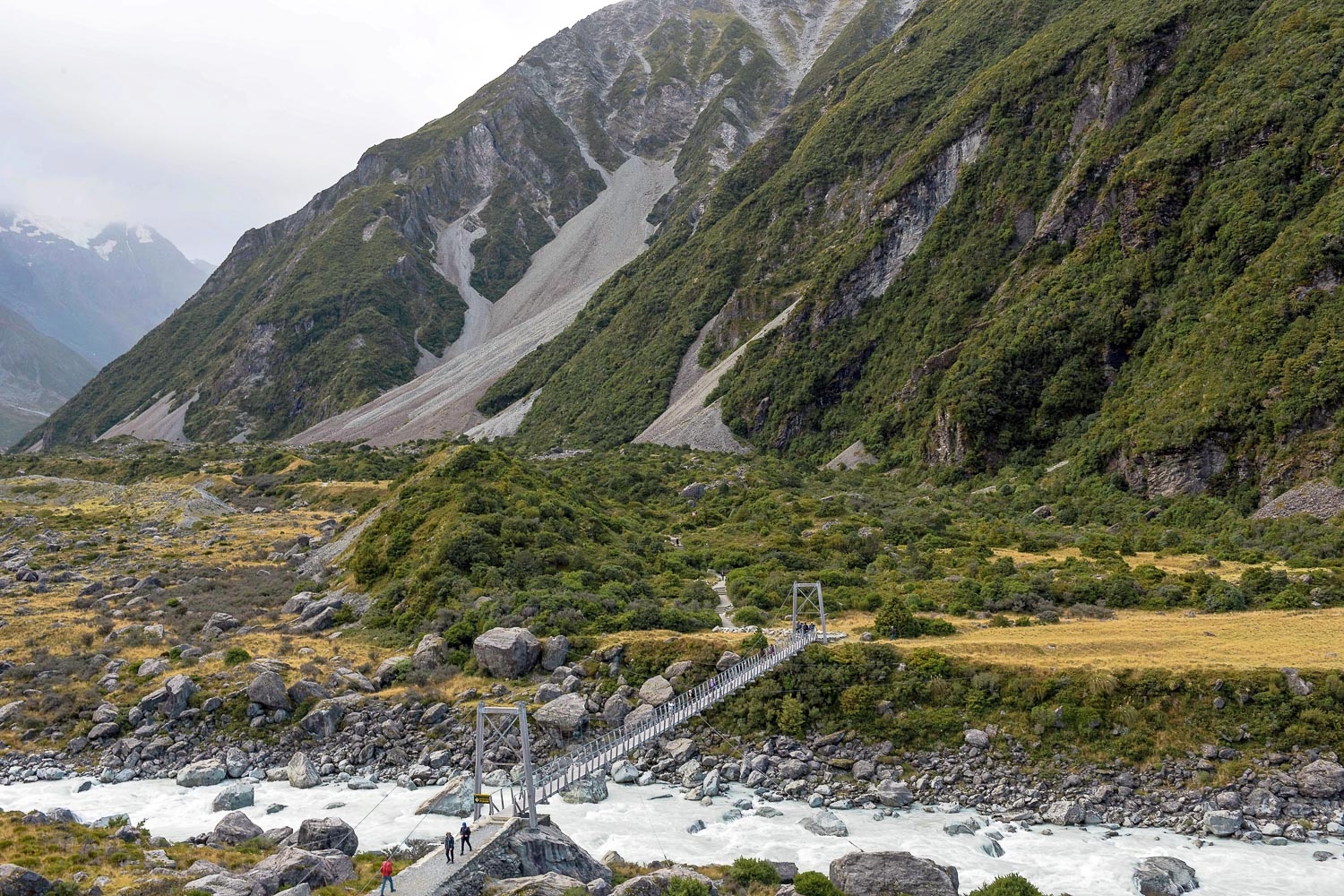
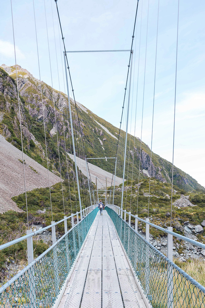
The Hooker Valley Track is 3.1 miles (5 km) each way, which Google, Wikipedia, and other blogposts certainly do not make clear. The track is one trail that you walk along until you reach Hooker Lake. You then turn around and head back on the same trail, which I guess is why the length is stated as is in most places. In total, the hike is about 6.2 miles (10 km) round trip. Depending on your fitness level you can expect it to take anywhere from 2-4 hours from start to finish.
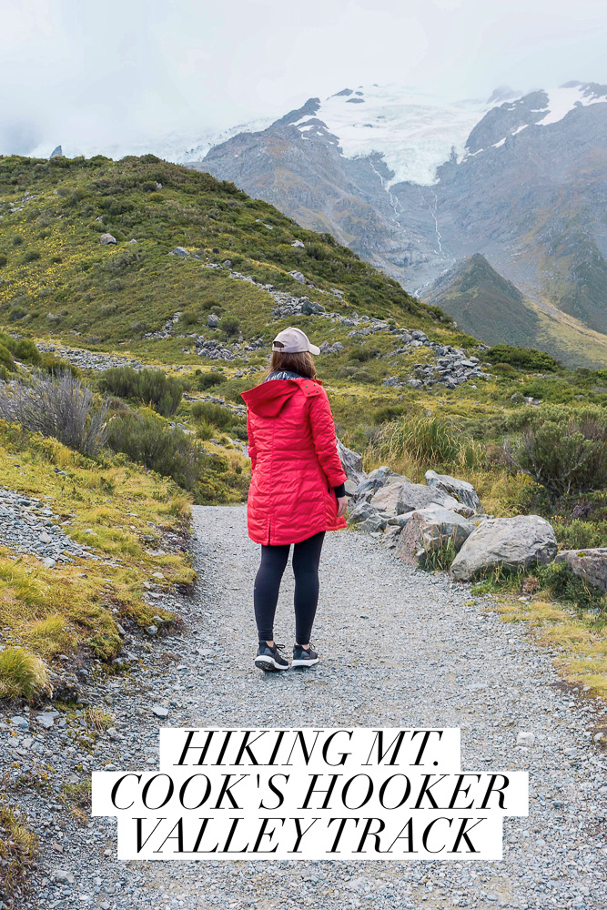
The walk itself is easy in comparison to most trails, so as long as you are able to handle the length you should be able to do it no problem. There are stairs and hills in some places for a total elevation gain of 300-400 ft (100-120 m) but the majority of the track is flat.
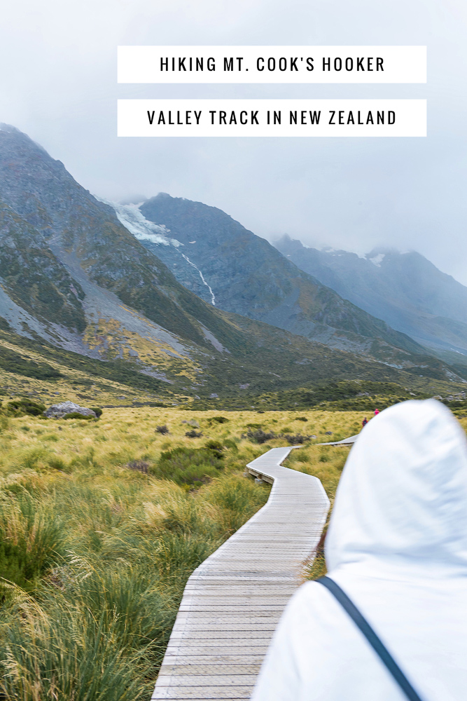
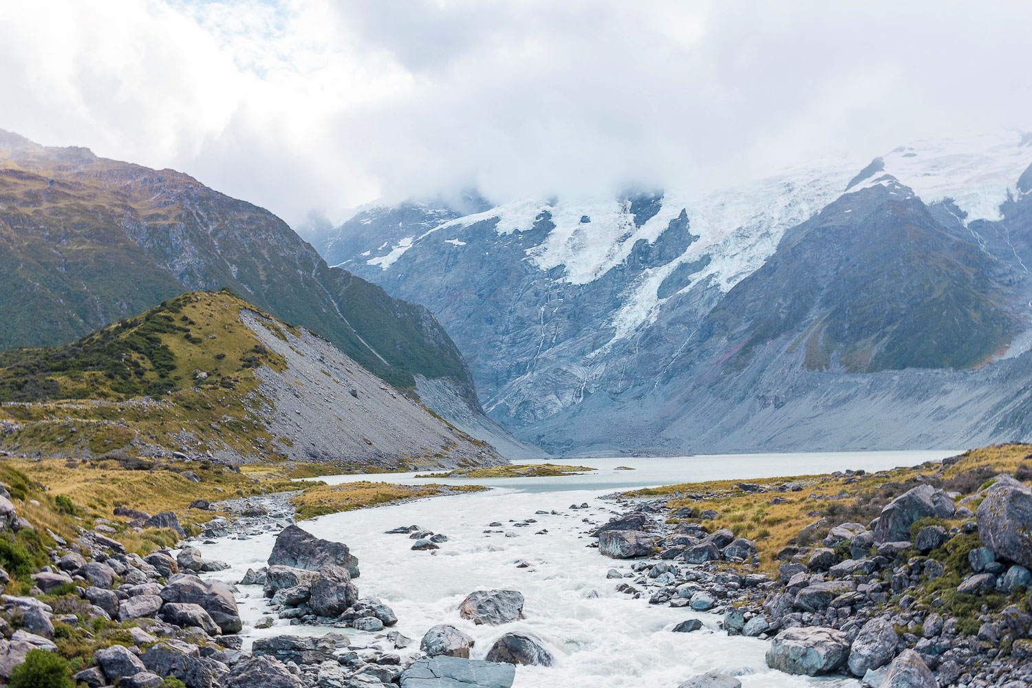
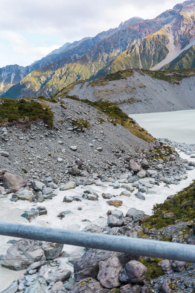
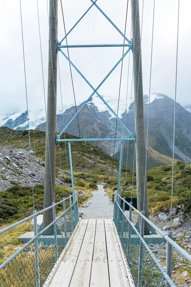
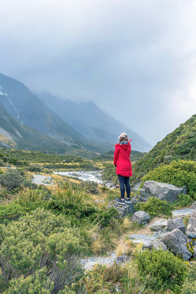
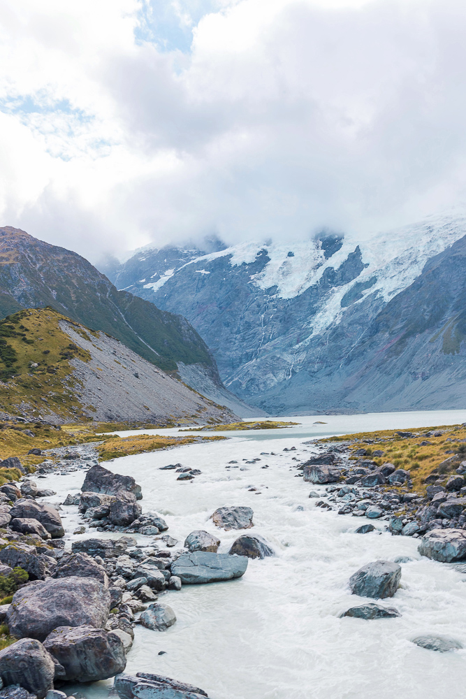
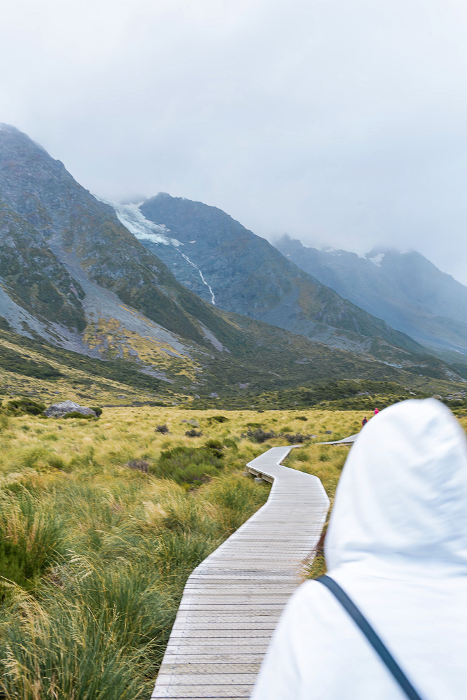
Think walking for 2-4 hours sounds boring? Assuming there is not complete cloud coverage, you’ll have non-stop mountain views and there are three different swinging suspension bridges you’ll pass over along the way. Near the end you’ll walk along a wooden boardwalk which I found to be a fun, unique photo opp. And eventually you will arrive at Hooker Lake which is often filled with icebergs. The lookout point at the end has a few picnic tables so bring along a snack to reward yourself with!
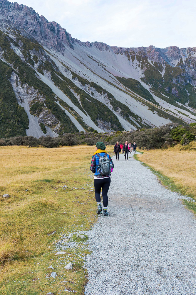

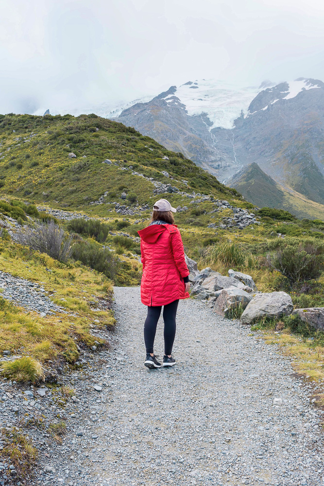
You will be out in the open for the entire duration of the walk so don't forget your sunscreen. I went in early fall (April) and while the start of the walk was sunny and warm, by the end of it it was so cold that my phone completely died out of nowhere. Make sure to bring layers regardless of the weather report because it is a long way in and a long way out! I brought my Stellarton coat from Canada Goose (c/o) and it could not have been more perfect. It’s ultra light so it’s a breeze to carry, it packs down to almost nothing so I could easily squish it into my backpack, and yet despite all of that it kept me incredibly warm in extremely cold weather. All of their products have a lifetime warranty, too, so I really can’t recommend it enough.
Best of all, the Hooker Valley Track is entirely free and open to everyone! Do not miss it if you are in the area.
Outfit details:
Canada Goose coat (c/o), Lululemon crew, Alo leggings, Adidas by Stella McCartney sneakers (similar non-Stella McCartney version here), Rag & Bone hat (50% off in tan here!)
LIKE THIS POST? PLEASE SAVE IT ON PINTEREST!